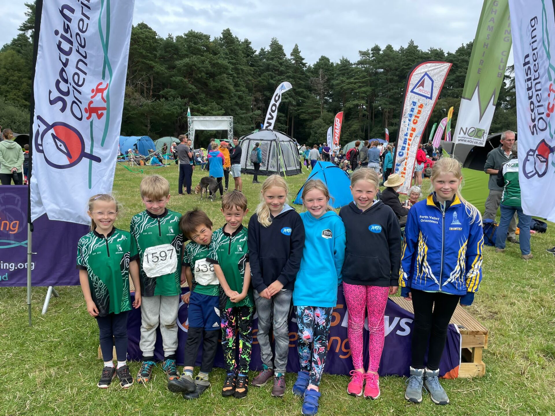
Thanks for coming!
Moravian Orienteers hope you had a wonderful time at the 24th Scottish 6 Days.
We look forward to seeing you in Edinburgh in July 2024 for the World Orienteering Championships and again in Royal Deeside in summer 2025 when we celebrate the 25th edition of the 6 Days!
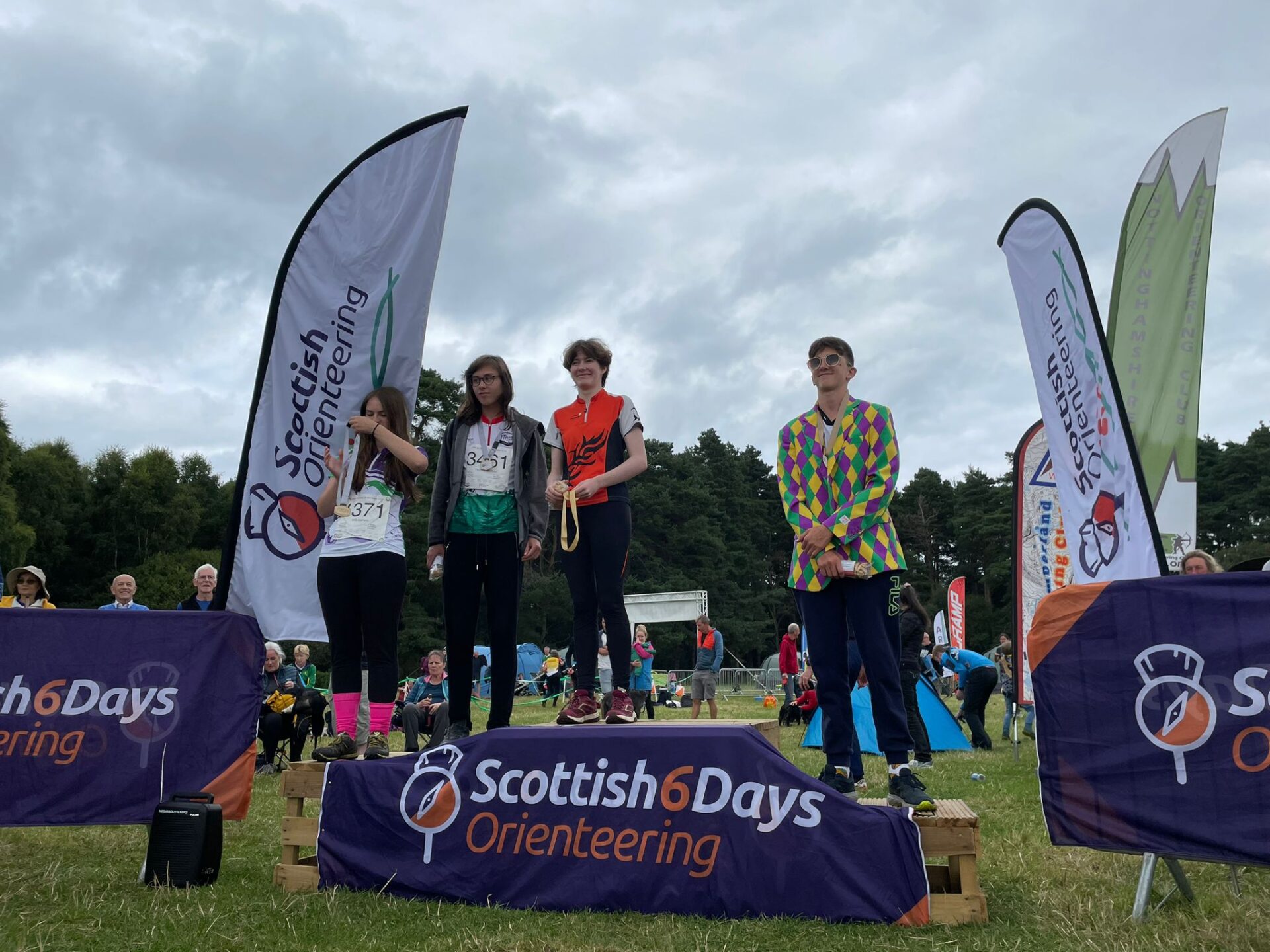
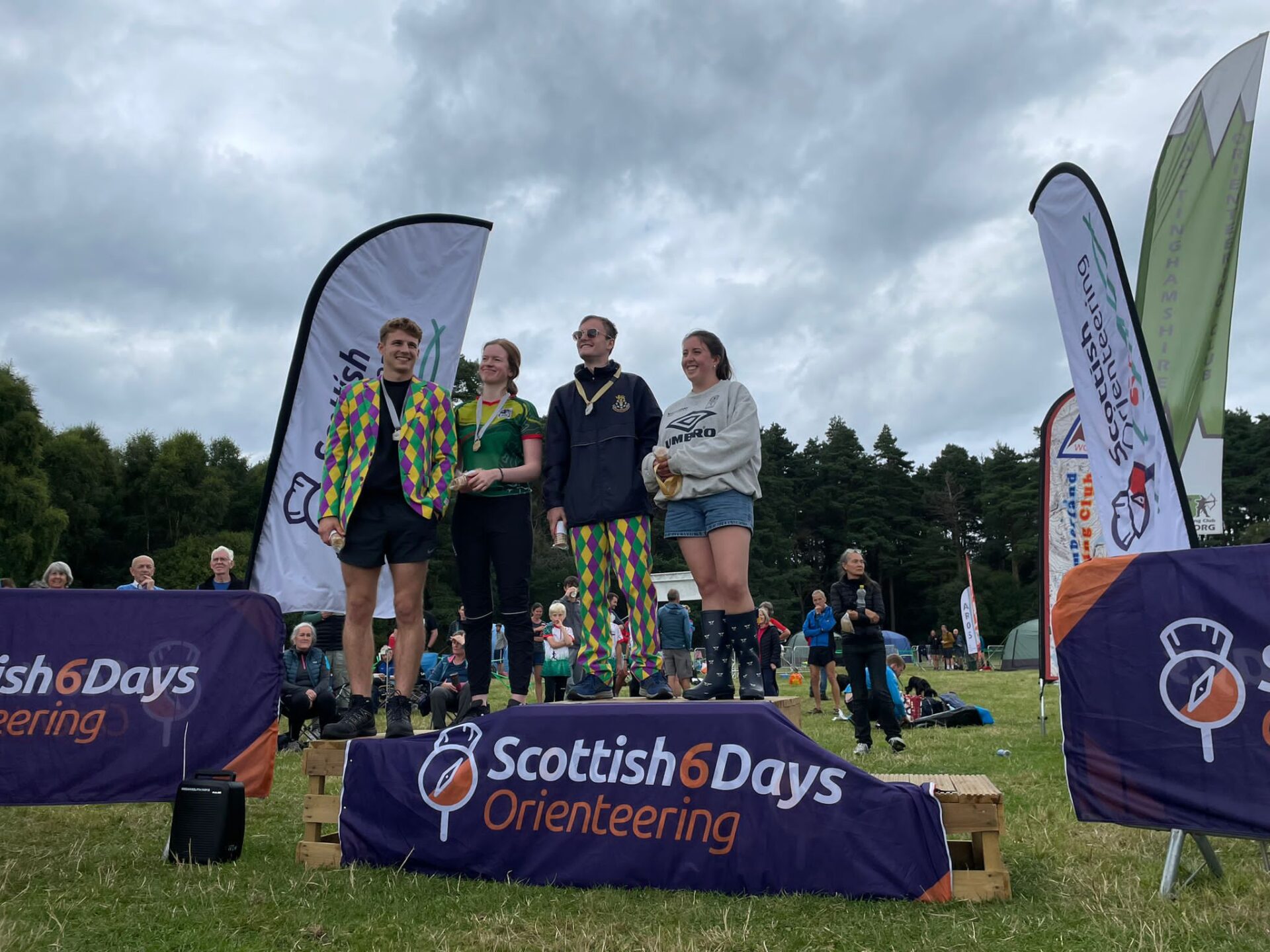
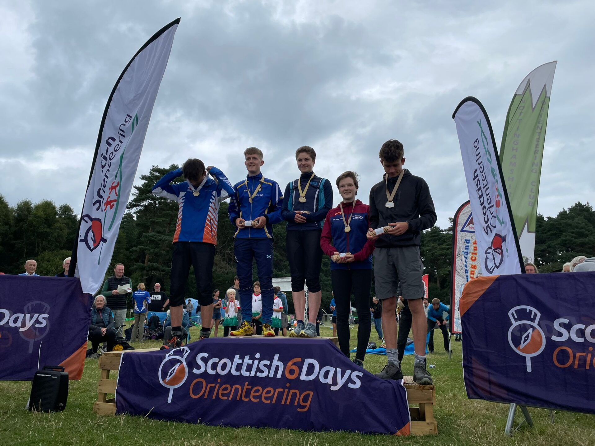
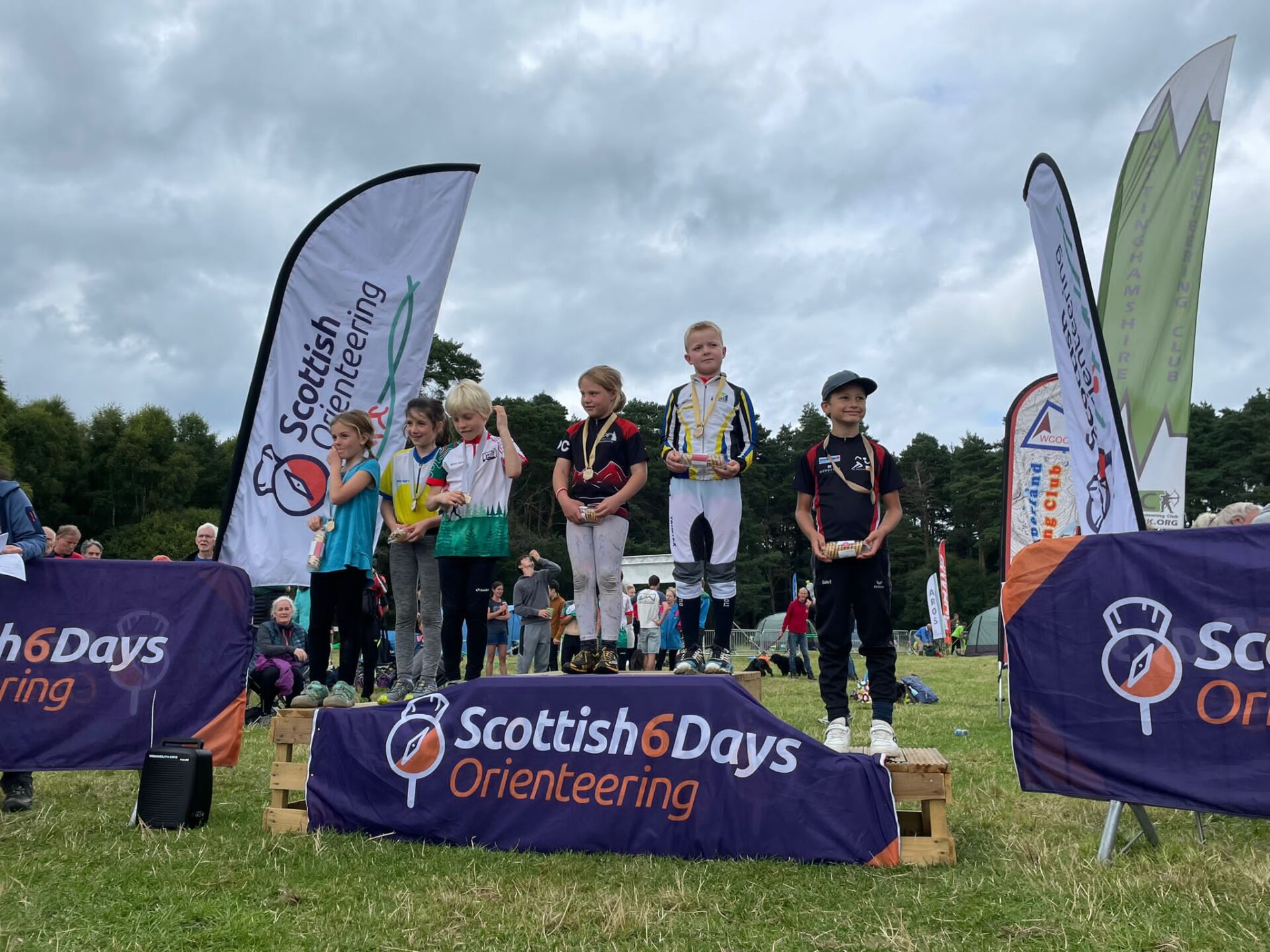
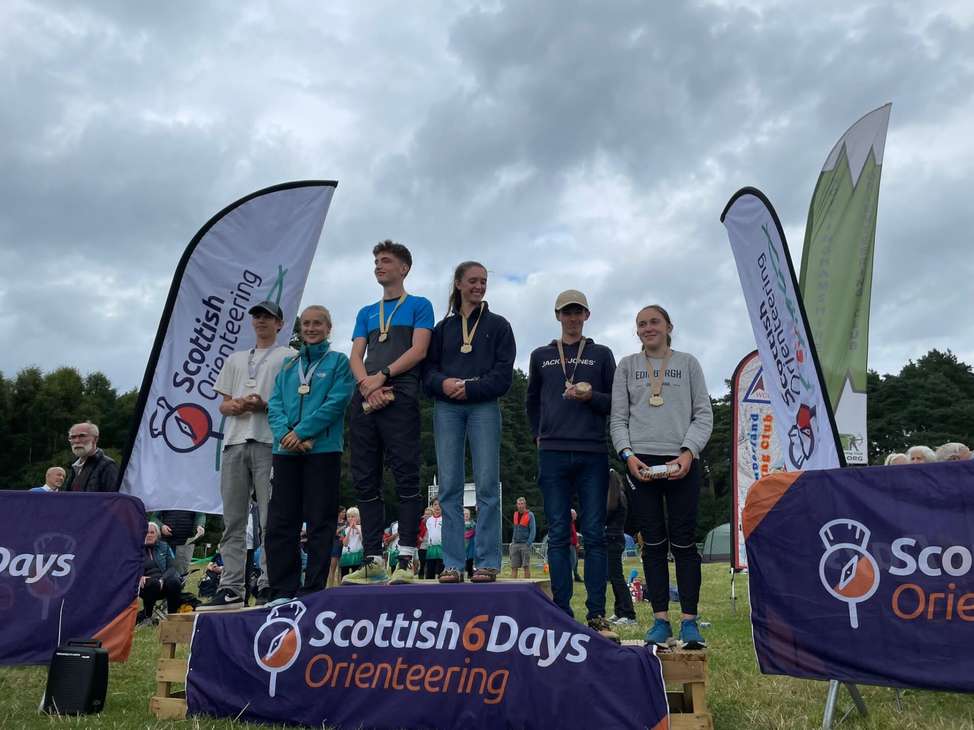
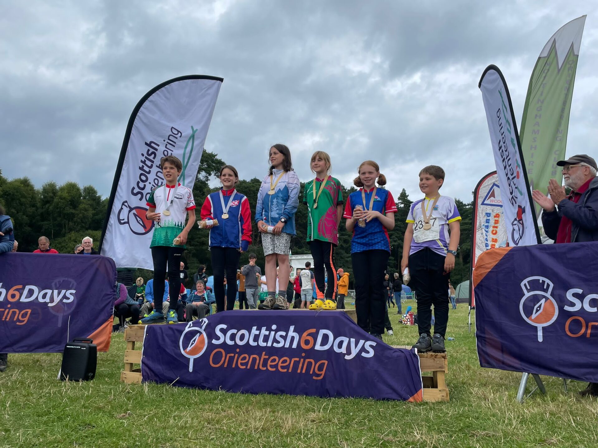
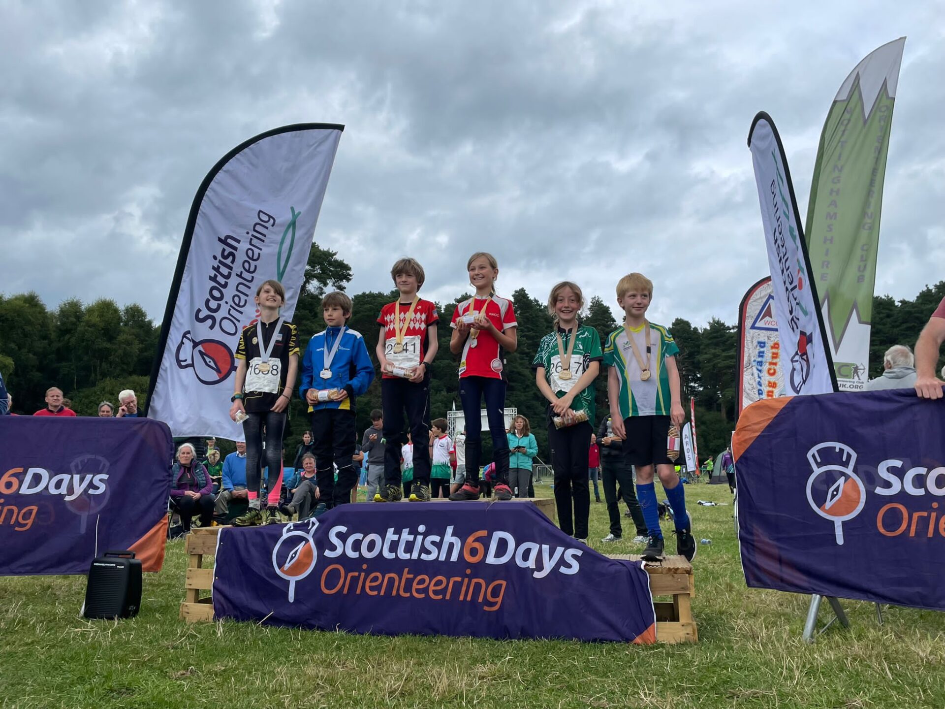
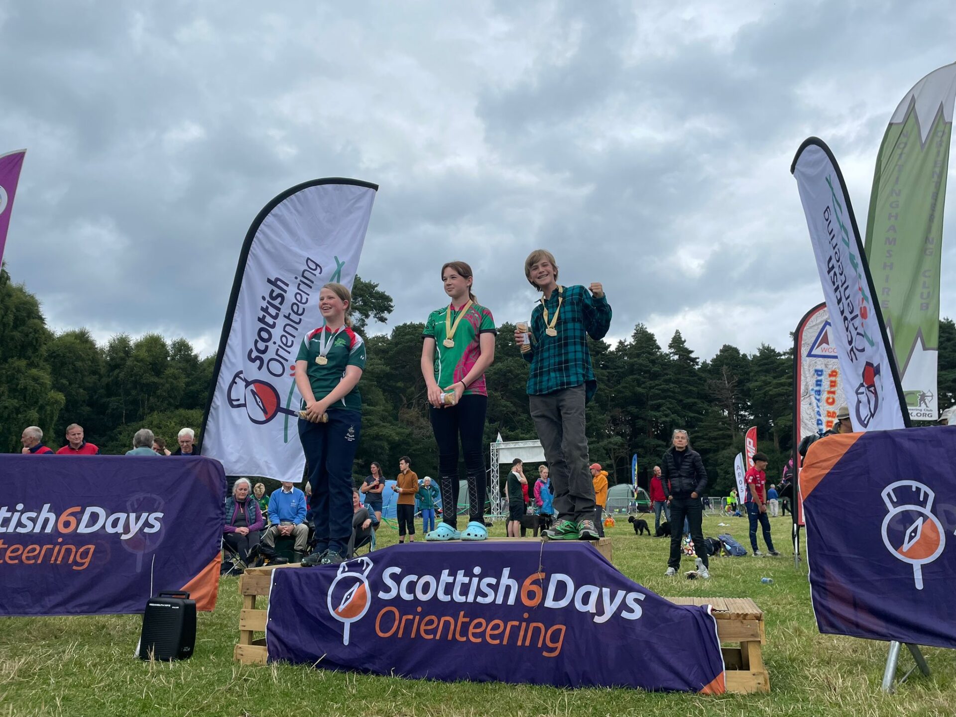
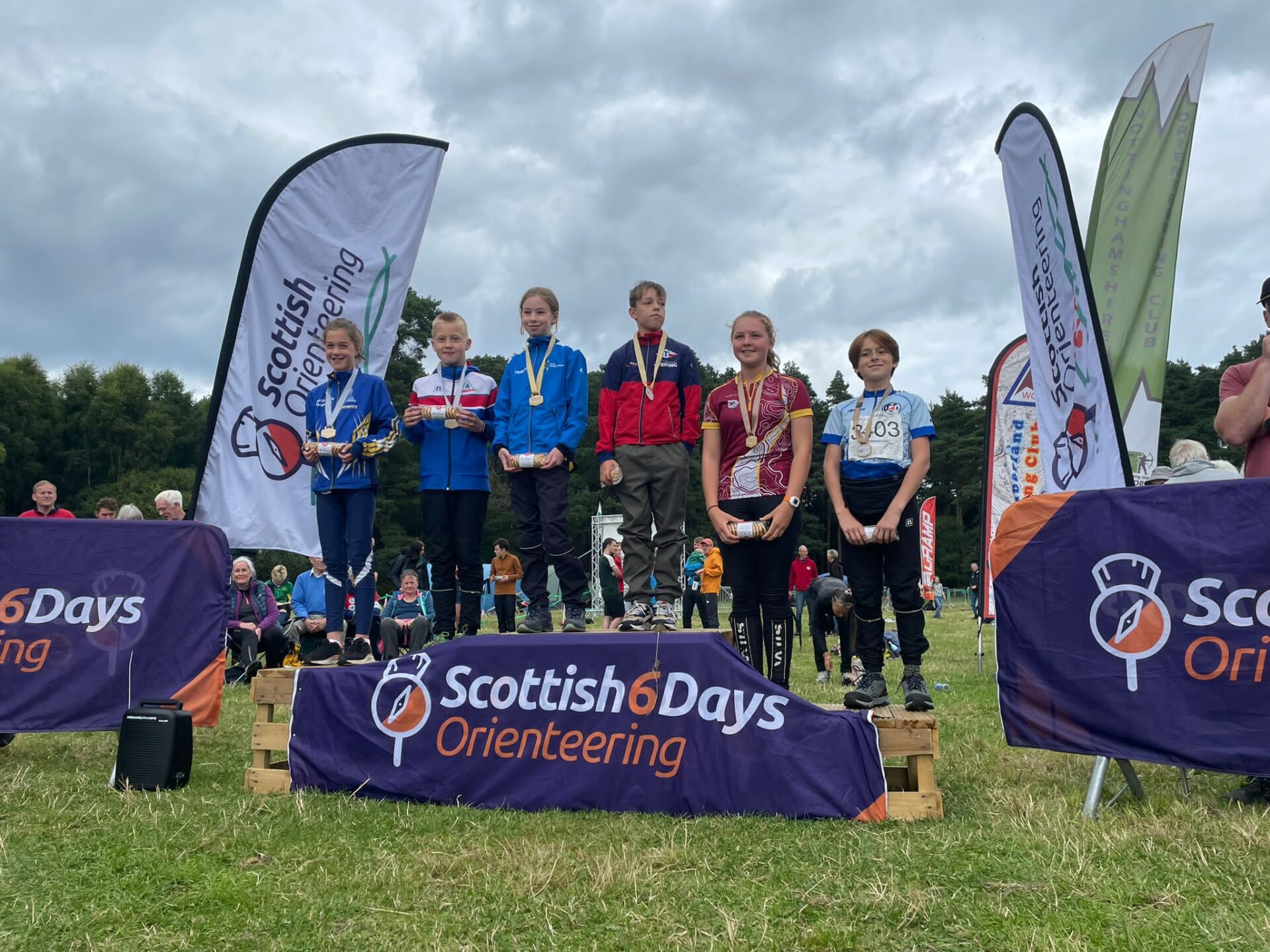
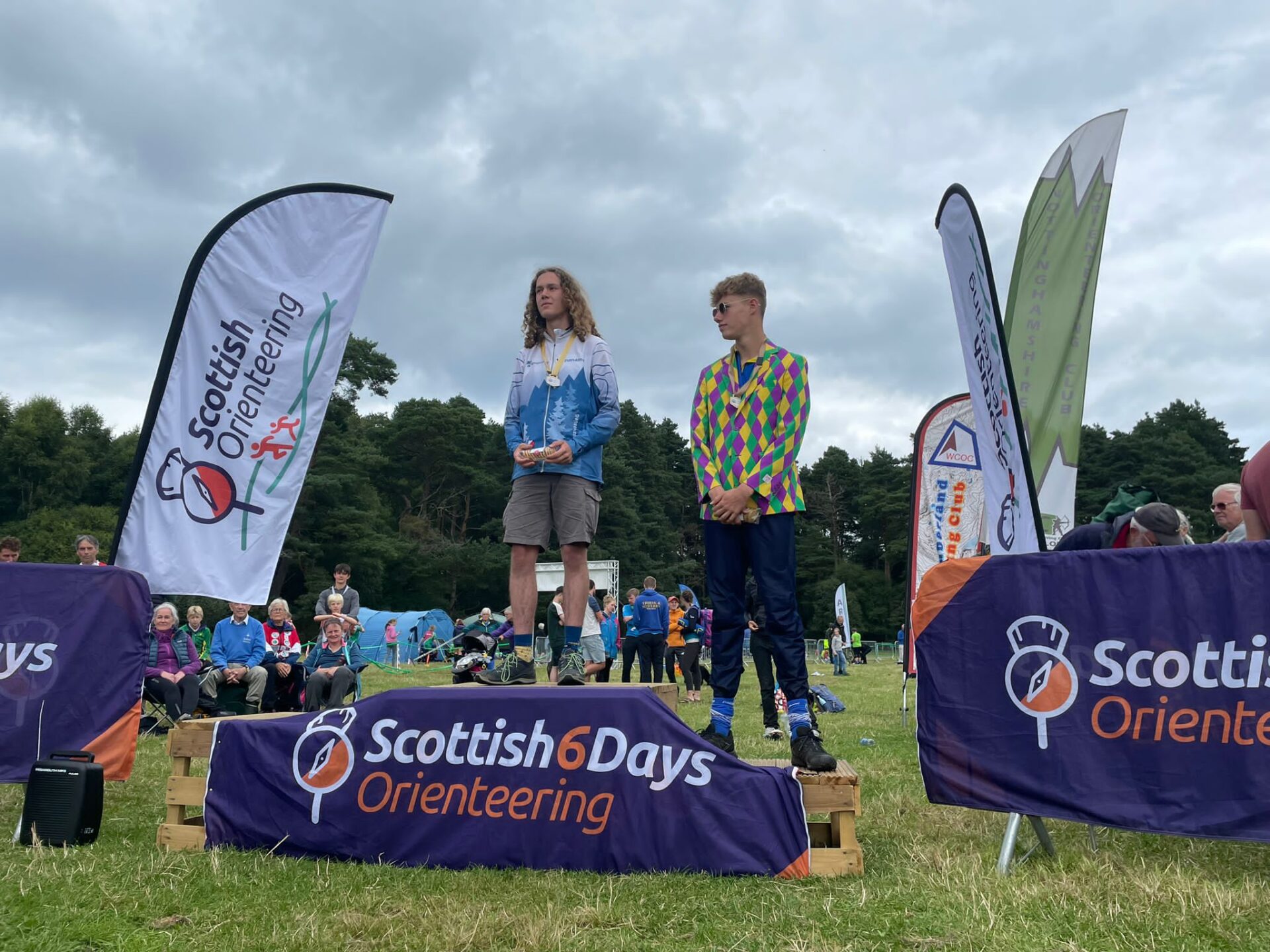
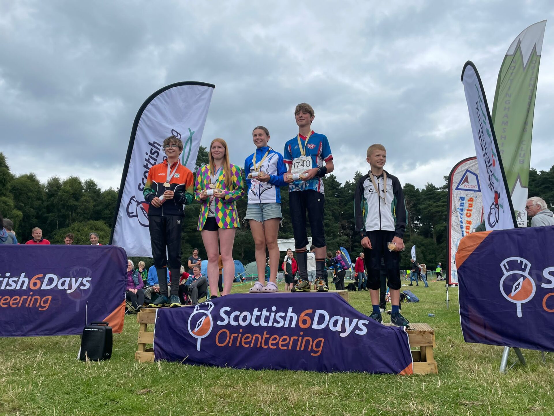
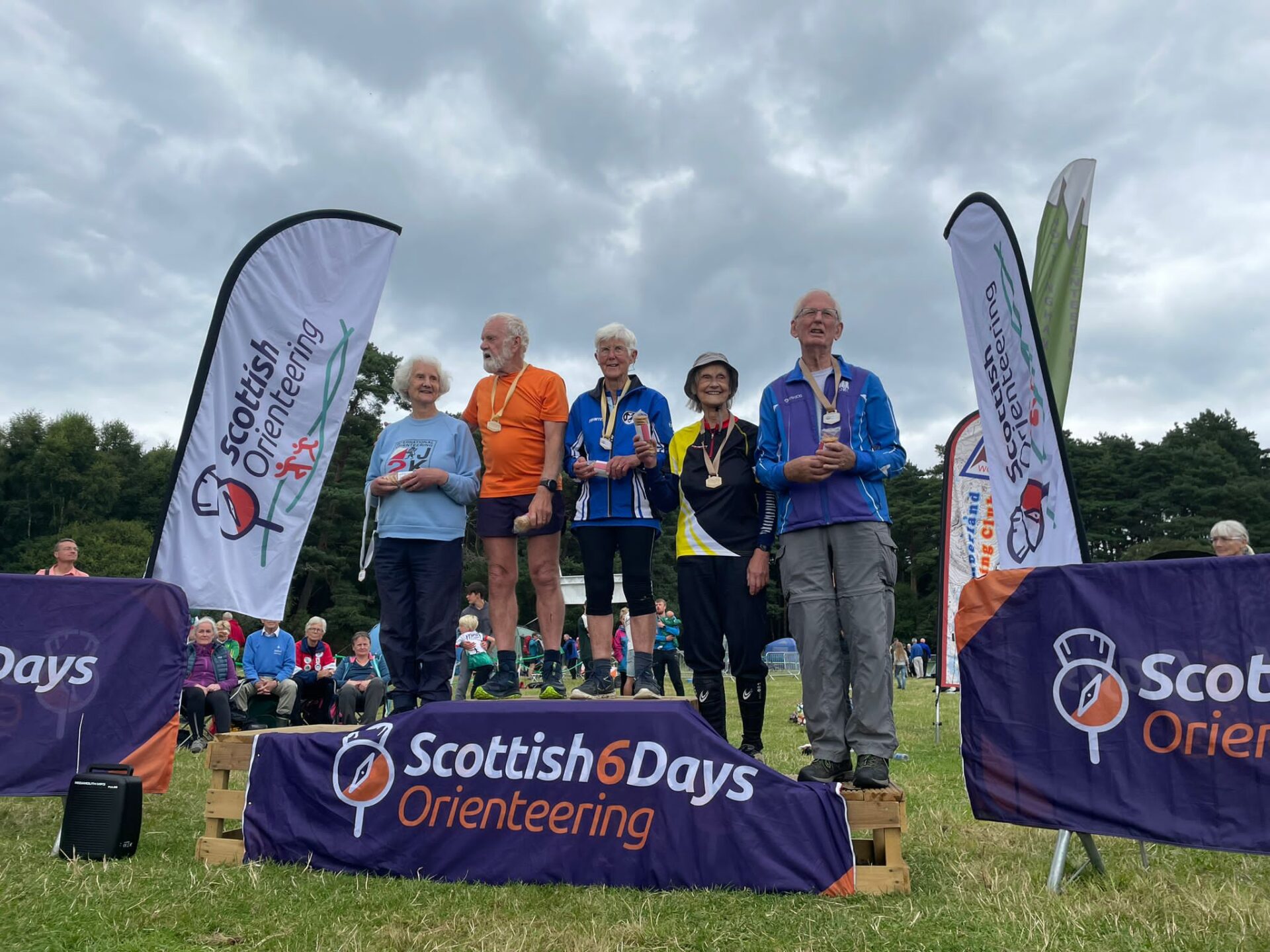
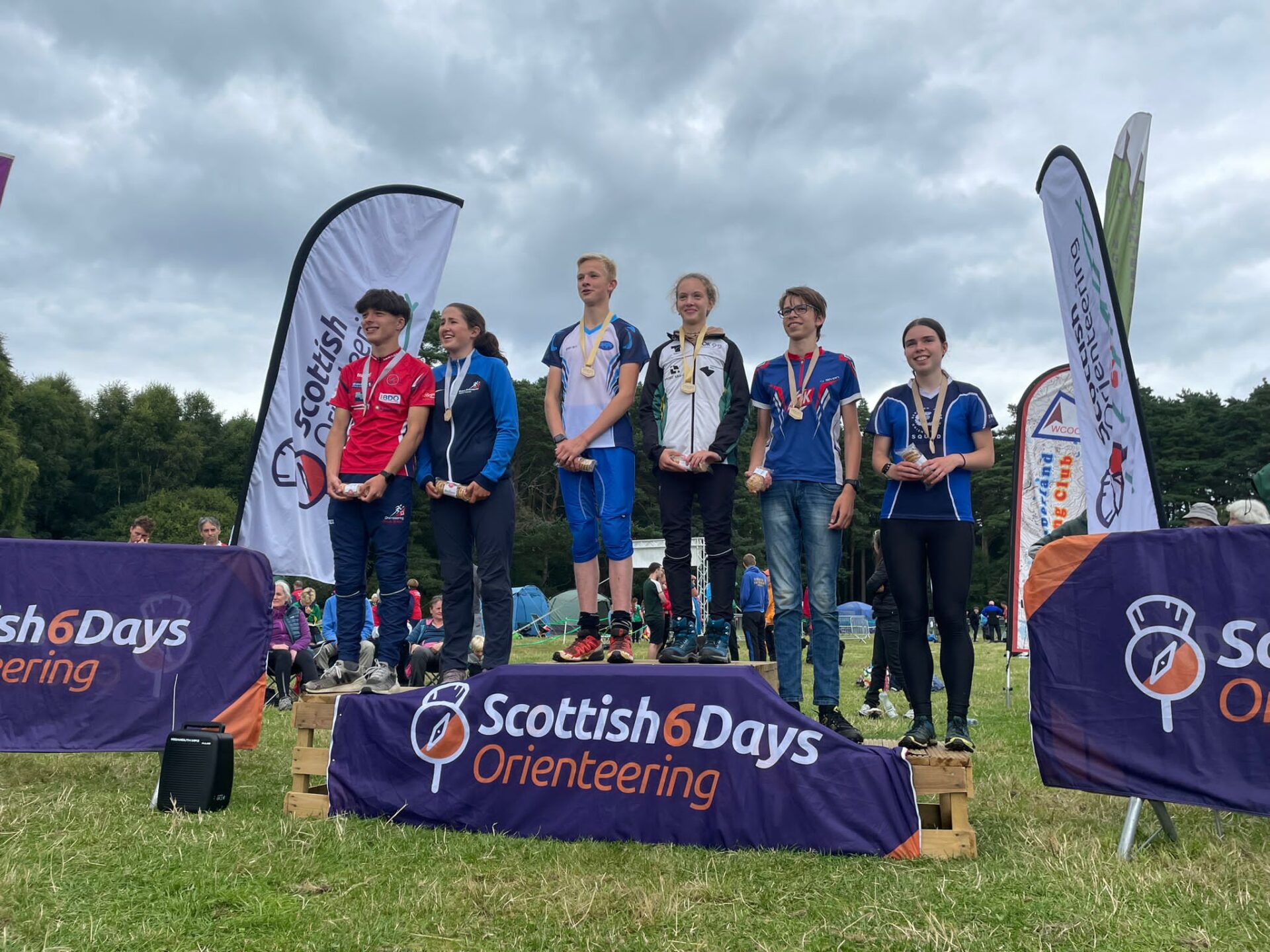
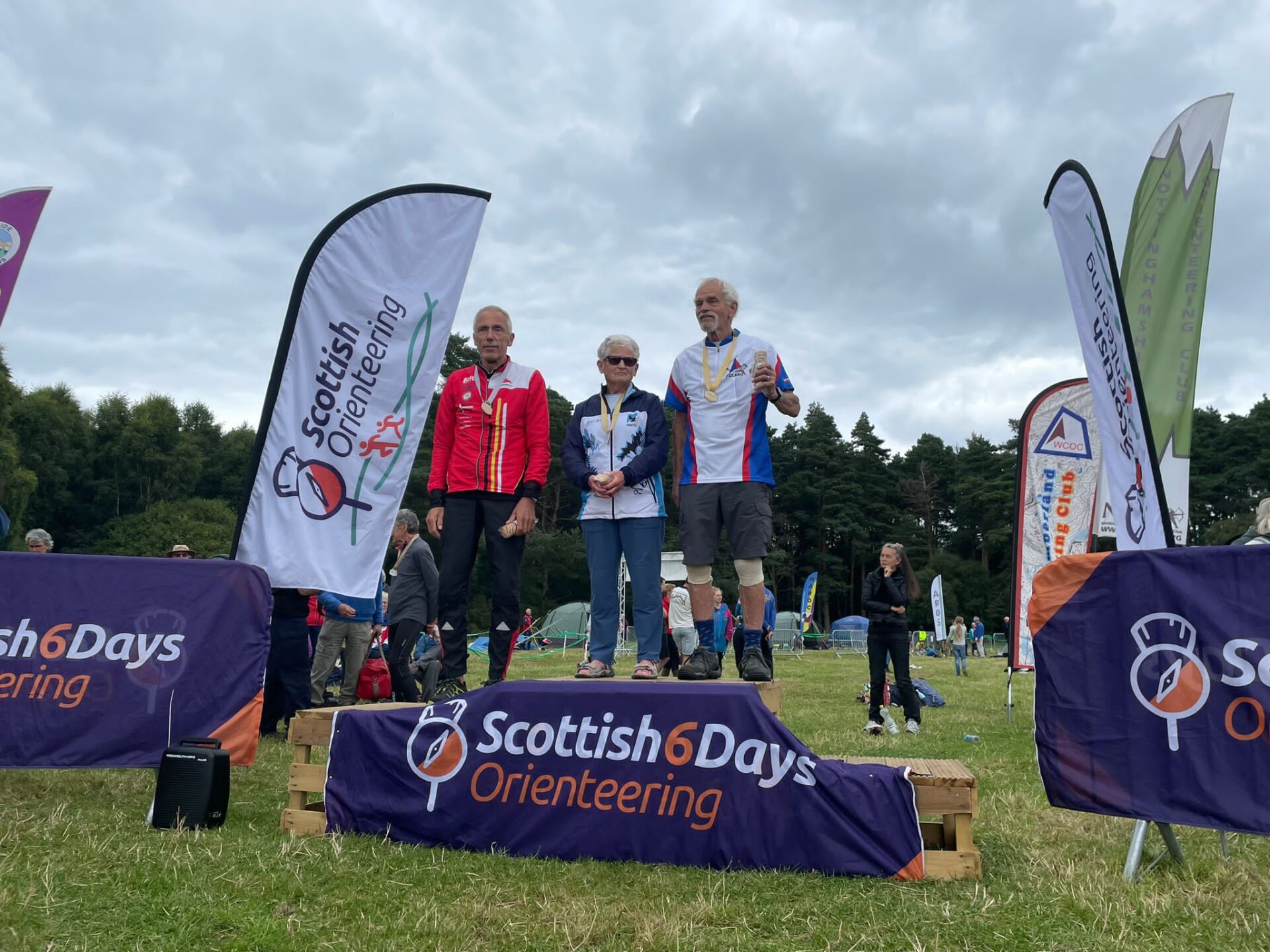
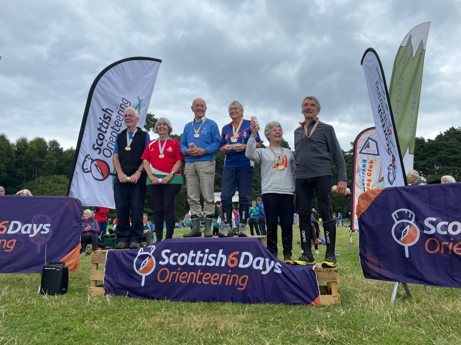
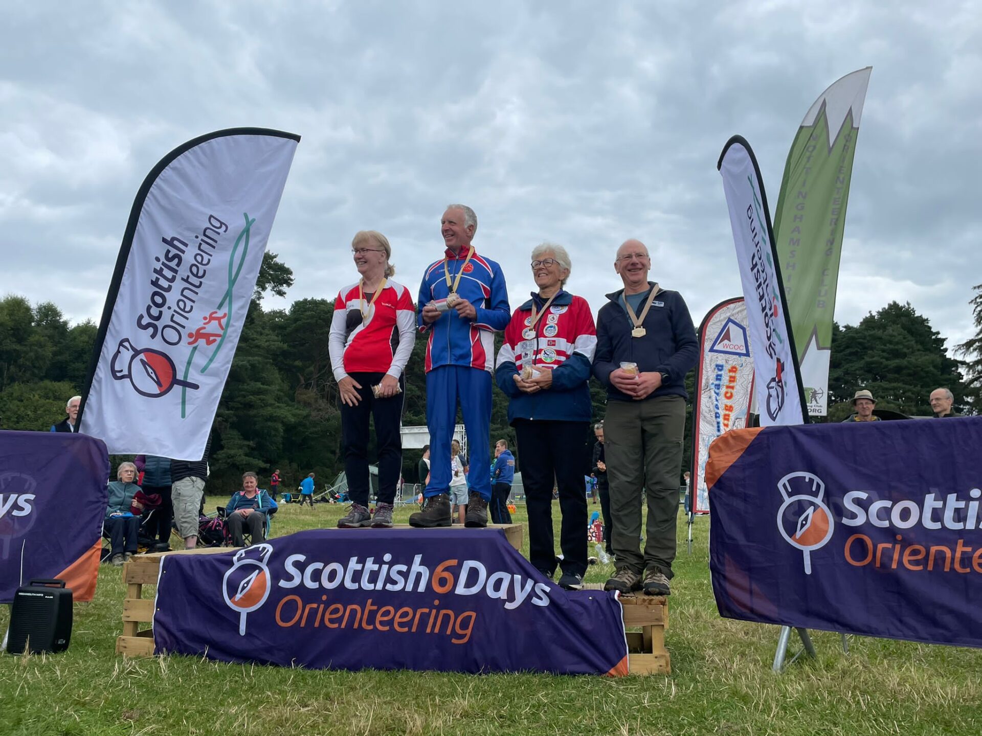
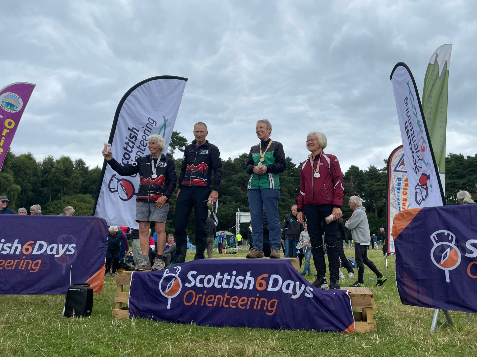
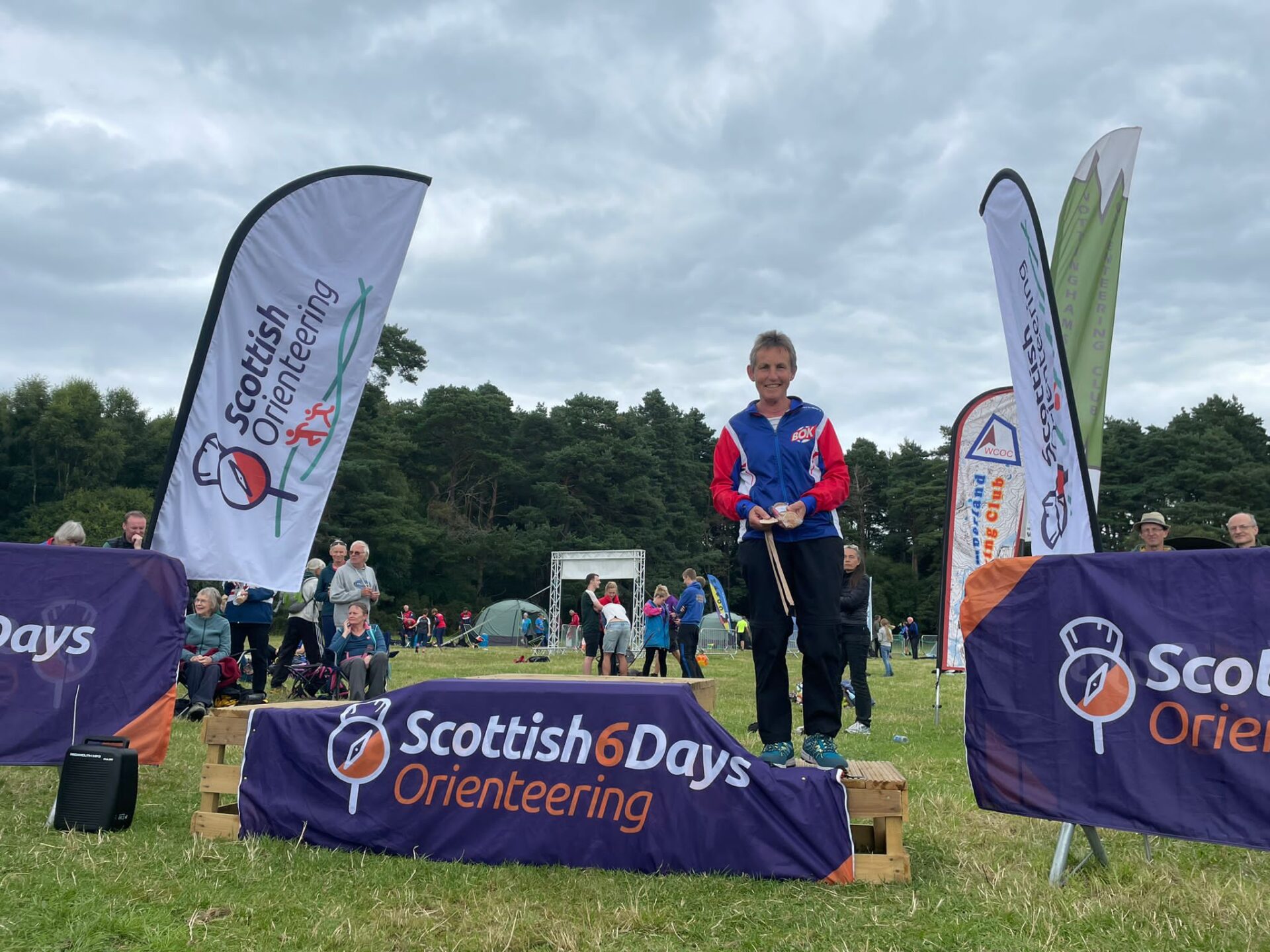
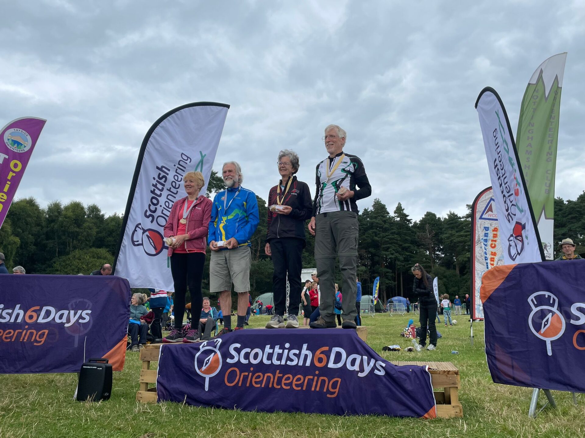
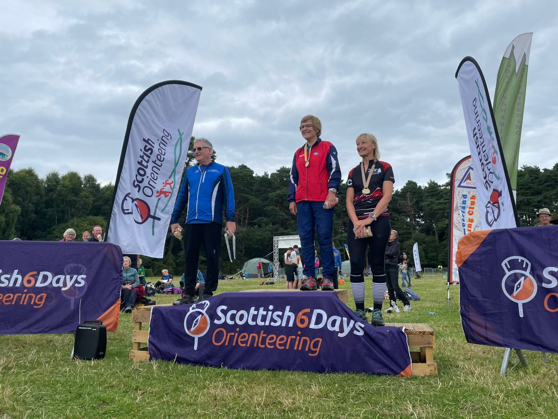
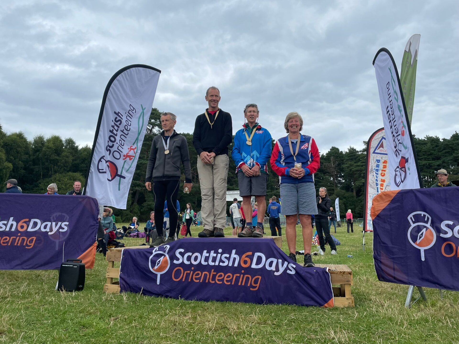
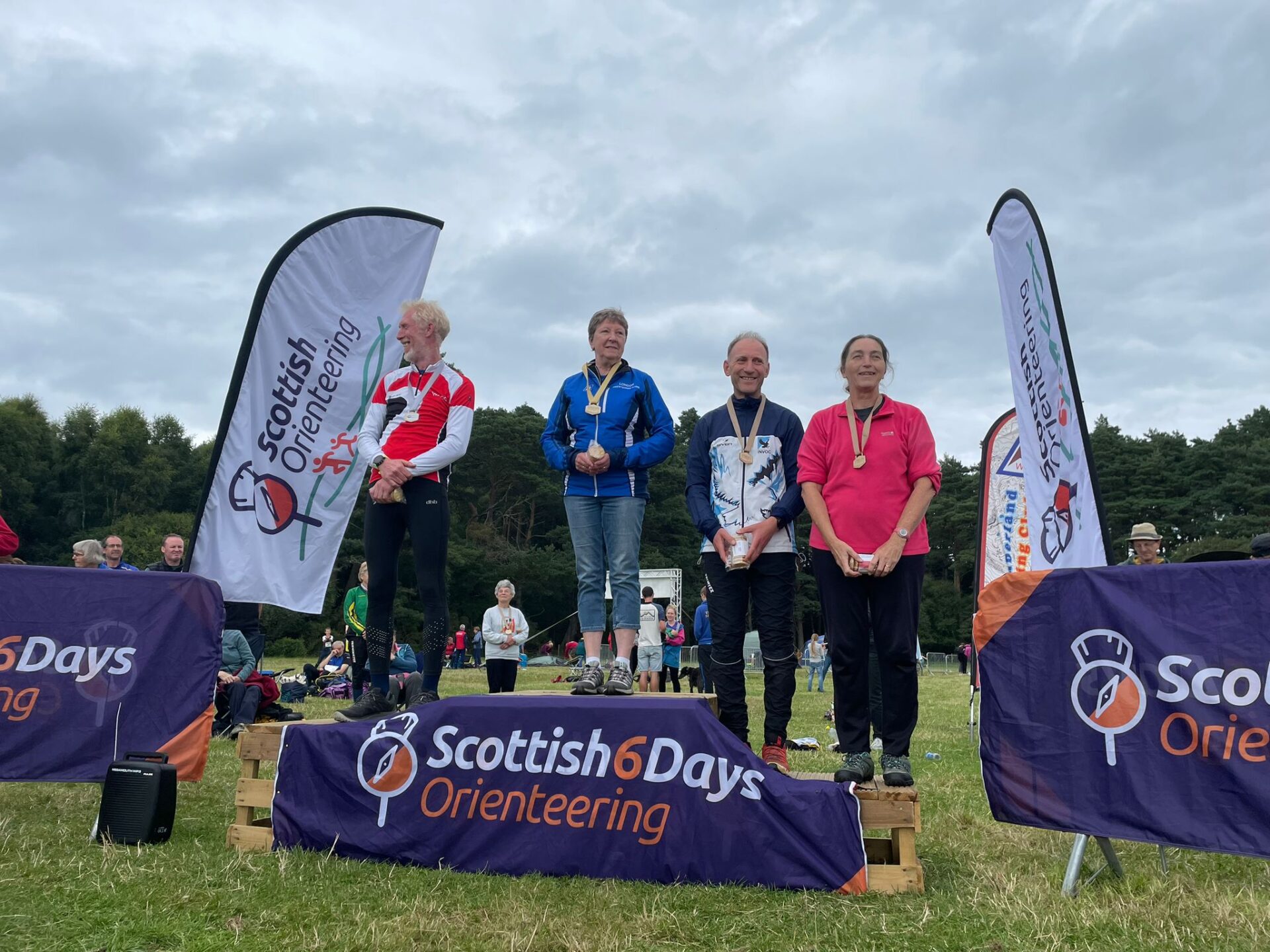
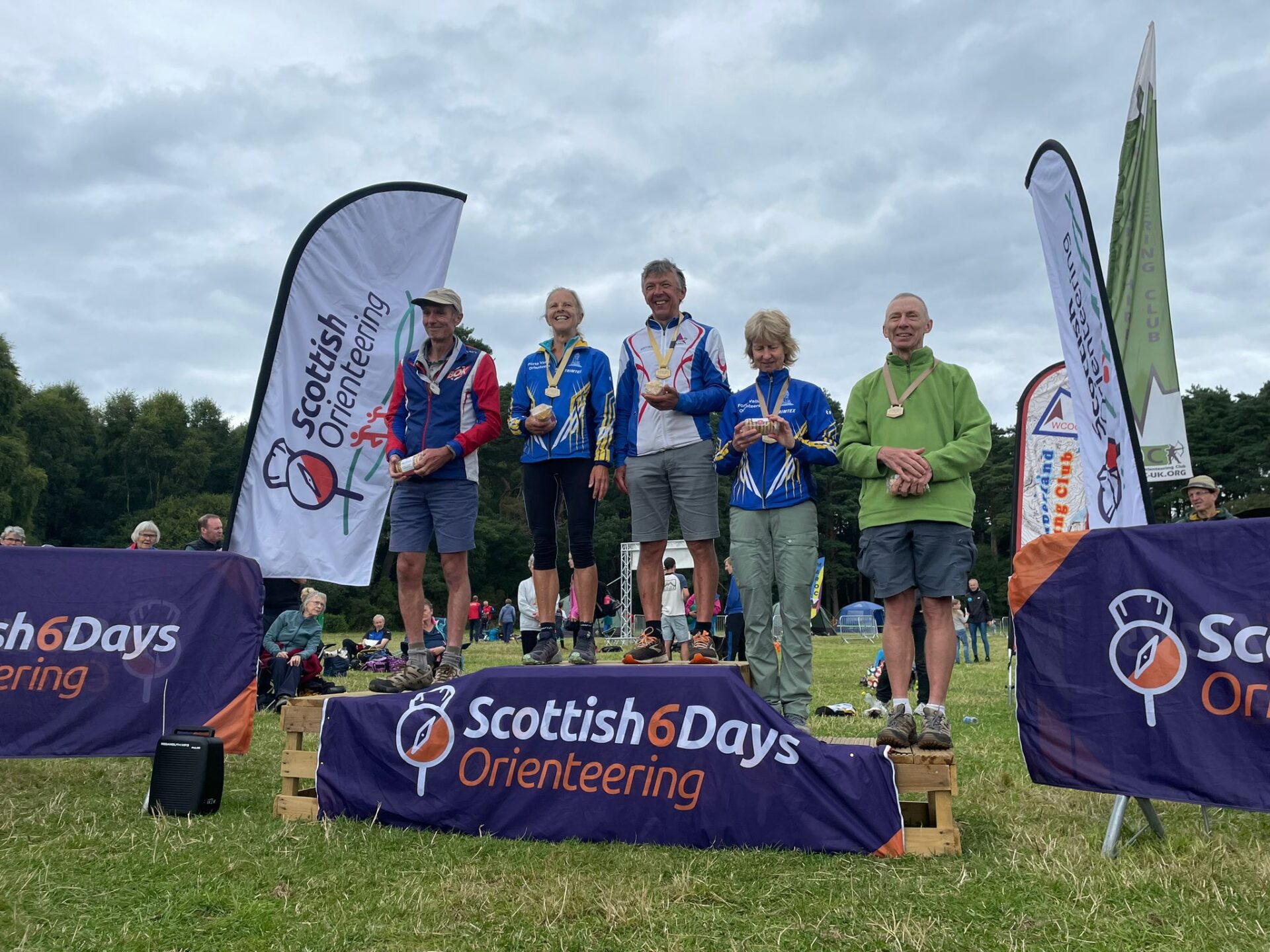
Congratulations to all our winners from Moray 2023
News
Catch up on the latest news...

Entries
It's not too late to enter: colour-coded entries are still available!
Start planning ahead for an unforgettable experience brought to you by the Scottish Orienteering 6-Day Event Company, the group behind bringing the World Orienteering Championships to Highland in 2015 and to Edinburgh in 2024.
SPONSORS & PARTNERS
Who supports the events
Scottish 6 Days Orienteering is fortunate to be supported by some great organisation and institutions. Let us introduce you…
Become a Partner